
Clear Operational Plans. Simple. Fast.
Built in New Zealand for real-world field response, TacEdge is the digital planning platform that brings instant clarity to complex operations. Create, visualise, and communicate field plans in minutes — not hours.

OUR PRODUCT
What is TacEdge?
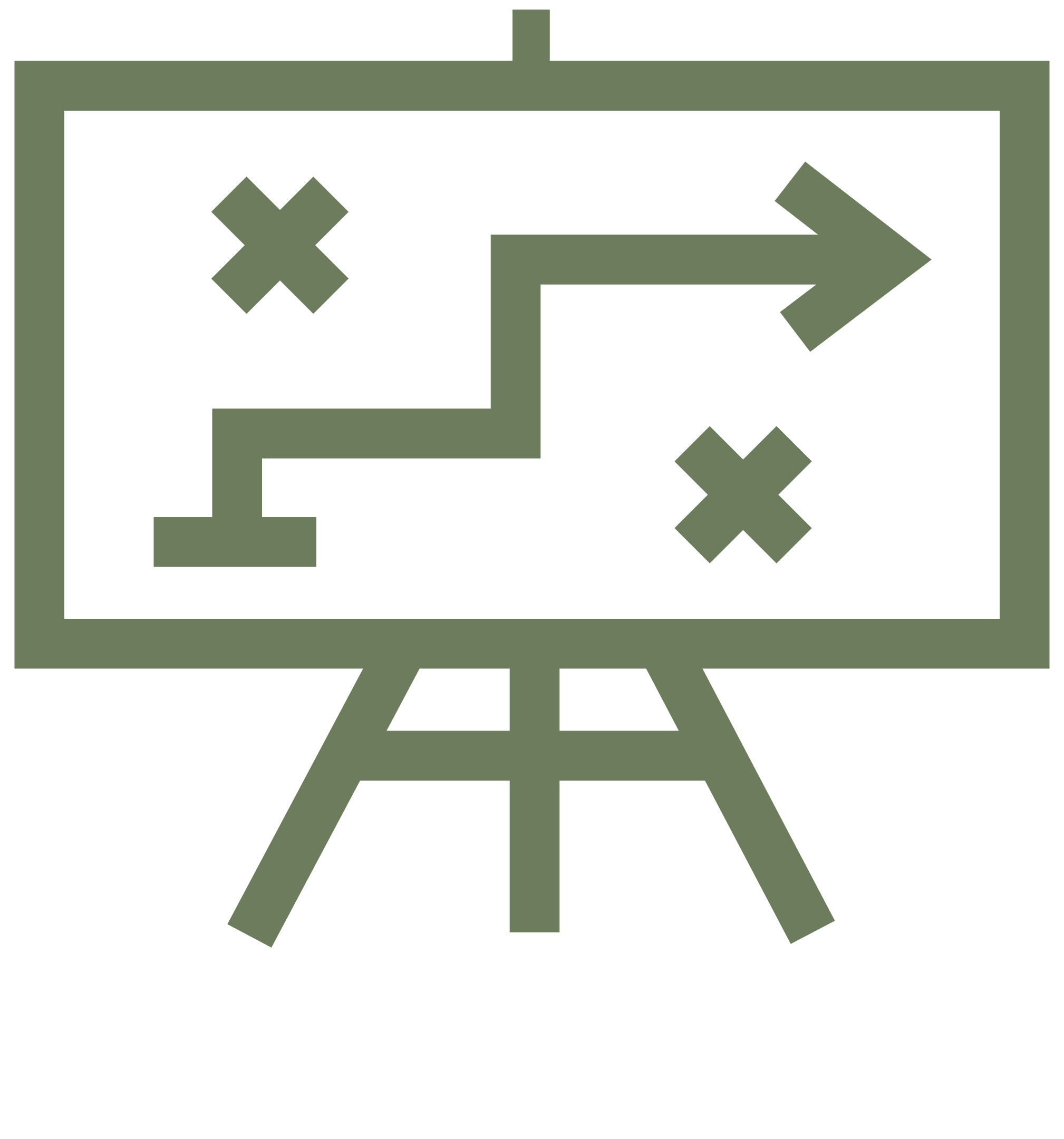
TacEdge is a lightweight, web-based planning platform designed for frontline teams operating under pressure. It enables rapid, visual coordination of operational tasks — replacing whiteboards, PowerPoint slides, and disconnected PDFs with a live, intuitive map-based workspace.
From civil defence to search and rescue, TacEdge gives teams the clarity to move quickly, confidently, and in sync.
Key Capabilities:
Drag-and-drop mapping of anchor points, access paths, and task zones
Real-time annotation of plans with hazards, timing, and logistics
Export ready-to-brief visual plans
Reopen and update plans live in the field
No training required
USE CASES

Search and Rescue
Speed and clarity when it matters most. Coordinate map-based tasking and tracking in dynamic, high-stakes environments.

Civil Defence &
Local Government
Improve decision-making at every level — from planning logistics to briefing elected officials.
Emergency Response
Create a common operating picture across agencies. TacEdge enables clarity during floods, earthquakes, evacuations, and other fast-moving scenarios.
Geotech, Infrastructure &
Engineering Teams
Deploy spatially-accurate plans in the field, with shared access and quick updates as conditions change.
Planning and Briefing
Replace slow-moving PowerPoint briefings with a visual CONOP that keeps command and field aligned.
Multi-agency Exercises (e.g. Operation Oasis)
Support seamless collaboration across Police, NZDF, CDEM, FENZ, St John, Coastguard and others.

TECHNOLOGY
Why TacEdge Works
TacEdge is built on three principles that matter most in the field:
Clarity: Clean, intuitive visuals with shared situational awareness.
Simplicity: Easy to use, no GIS training or downloads required.
Speed: Rapid planning without compromising accuracy or tactical coherence.
Bridging the Gap Between Complexity and Action.
Offline-first: Works in disconnected environments.
No logins, no infrastructure: Designed for agility, not bureaucracy.
TacEdge complements your current workflows. It doesn’t compete with legacy GIS systems.
ABOUT US
Born from the Real World
TacEdge began on the frontline of one of New Zealand’s most complex emergencies: the Whakaari / White Island eruption.
In December 2019, amidst a fractured and high-stakes recovery mission, teams across NZ Police, Defence, and Civil Defence found themselves improvising operational plans with whiteboards, PowerPoint slides, and phone calls.
There was no shared visual plan. No dynamic overview. And no clarity between teams.
Out of this operational chaos came a single insight: clarity saves lives.
TacEdge was built to bring clarity to the edge — where people, time, and pressure collide. It’s not just a planning tool. It’s a mission-critical platform for those who operate in the grey zone between chaos and control.
OUR VISION:
Op Whakaari Resolve
TacEdge is set to become New Zealand’s national standard for spatially-enabled operational planning. It is for the people who plan, coordinate, and respond — not from theory, but from lived experience.
NEWS & UPDATES
Contact Us
Want to see TacEdge in action?
We’re onboarding select agencies, businesses and field teams into our pilot programme.
Get in touch to:
Book a live demo
Join the early access programme
Discuss how TacEdge can support your organisation
Mike Coom
Founder & CEO